NBN Atlas Cartographic Functions
This information covers techniques for reproducing maps for publication or websites. It does not cover whether you have the required permissions to publish or reuse any maps that you create.
Please be aware that the all occurrence records on the NBN Atlas are subject to licence conditions set by the data partner (also referred to as data provider), including a non-commercial use licence. Please refer to the relevant sections in the NBN Atlas terms of use for further information on this.
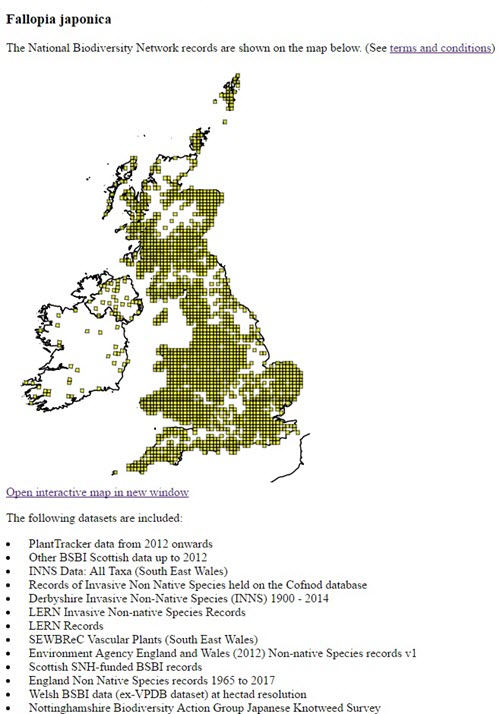
Majority of the following features for mapping records require the ‘Taxon version key’ for the species you want to map. You can get the Taxon Version Key from the Species page URL (see here for further guidance). For example, a search for Japanese Knotweed will return a link to the following species page:
https://species.nbnatlas.org/species/NHMSYS0000458716
The Taxon version Key is the sequence of numbers and letters beginning ‘NHMSYS…’.
Exporting static maps
For exporting static maps, e.g., for a publication there are two workflows. You can use the Interactive map, available via the species occurrence search page or via the NBN Atlas Spatial Portal.
For guidance on using the Interactive map, please see here. You can only currently export the map shown on the Interactive map by taking a screenshot. Alternatively you could use the WMS button to display the same map in an external software, e.g., QGIS.
The NBN Atlas Spatial Portal allows you to export the map as an image and offers additional base maps (e.g., Ordnance Survey open street map), via the Export tool. See guidance on using the NBN Atlas Spatial Portal here.
Producing an image from EasyMaps
The EasyMap Software Shim replicates, to a large extent, the most popular mapping features of the NBN Gateway’s original EasyMap solution (for documentation of the various options, see the EasyMaps help pages) and can be used to produce maps and associated text for use in client websites.
https://easymap.nbnatlas.org/EasyMap?tvk=NHMSYS0000458716&w=800
Alternatively, by replacing the term “EasyMap’ in the url with “Image” the map is returned as a static image, e.g., https://easymap.nbnatlas.org/Image?tvk=NHMSYS0000458716&w=80
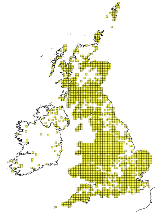
The original EasyMap solution limited the width of the image to 800 pixels. This revised version maintains this limitation, but allows an addition “&retina=2” parameter to be appended to the url. This will double the resolution of the returned image. When used on a EasyMap page the image will remain the specified size, with the double resolution image scaled to fit accordingly. This can result in ‘cleaner’ images without breaking the original API specification.
https://easymap.nbnatlas.org/Image?tvk=NHMSYS0000458716&w=800&retina=2
In order to optimise response times both html and image are cached for one month. To force an update, the flag “&cachedays=0” can be added (although this is not normally needed nor generally recommended since it will slow response times as everything will be regenerated).
Web Map Services
The documentation for all NBN Atlas Web Services (i.e., WMS options and their parameters) can be found here.
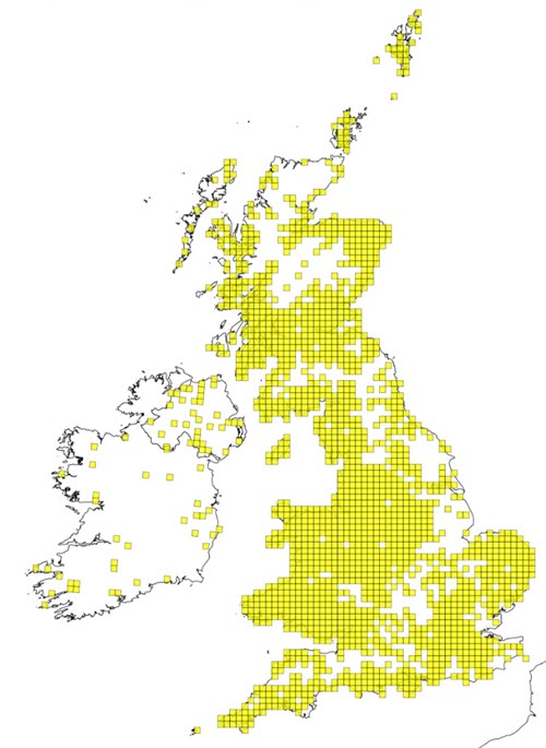
Static maps
More sophisticated mapping capabilities are available in the Generate Static Map web service. See this WMS’ documentation here.
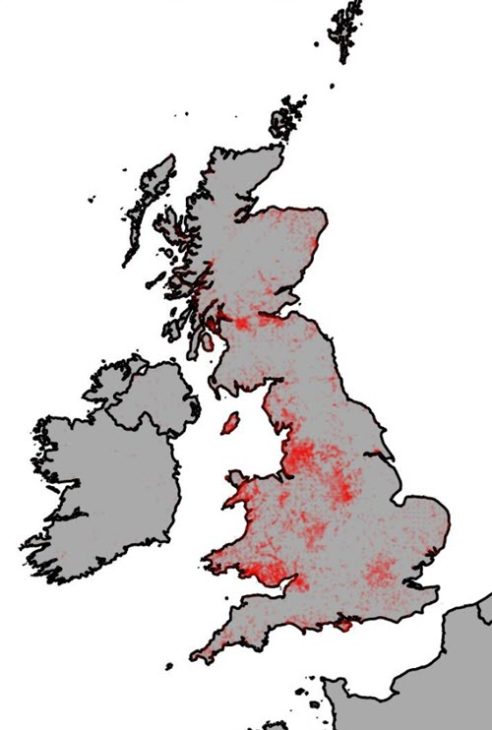
For example:
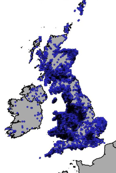
Interactive maps
WMS (‘slippy’) maps are available for web developers to imbed interactive maps on their website or other external software (e.g., QGIS), an example is the WMS GetMap WMS, see the documentation here.
The WMS button feature allows you to copy the WMS URL query and WMS parameters used for displaying the occurrence records on the Interactive map, see here for further guidance.
Is there a charge for using these maps?
There is no charge for using these maps. However as a charity we are only able to provide our services through the support of our members or donations. Please consider offering your support when using data from the NBN Atlas.