Tools operate on one or more of the three basic data types. Data does not have to be pre-mapped, but will be used as a prompt by default if it is. Area can be the base of a function as in reporting species, occurrences and associated data. Area can also be used in conjunction with other tools such as scatterplots (species plotted against layer values), classification (integrating gridded layers) or prediction (interpolating species based on gridded layers).
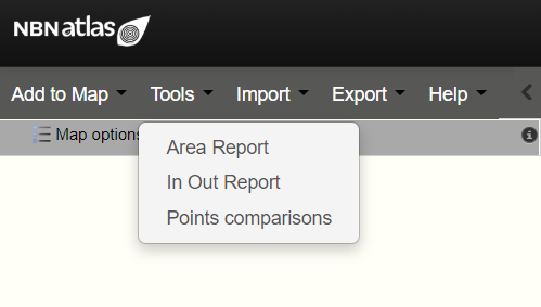
- Area Report
- In Out Report [Feature is currently unavailable]
- Point comparisons [Feature is currently unavailable]
The Spatial Portal now permits re-use of analysis layers. There are two types of layers produced from the tools currently available in the NBN Atlas:
- Points (from Generate points)
- Contextual – polygonal layers with class values for each polygon
Not all combinations of re-use are possible, for example contextual layers cannot be used in classification.