Please note that this feature does not currently work
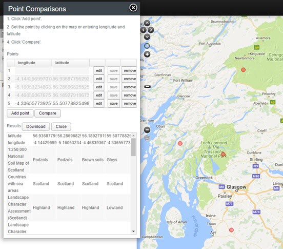
This option is presented as a quick way of comparing the environments of a few points.
The alternative is to use Export | Point sample where environmental data is appended to an existing set of points, which are usually species occurrences, but can also be any set of points that have been imported. Point comparisons simply use mouse clicks on the map of a few points and the result is a display of those points (forming columns in the legend area) across all layers (rows in the legend area).
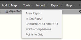
On the Menu select ‘Tools’ then ‘Point Comparisons’.
First, zoom and pan to the area of interest and then click on Add point. You can then edit the point or remove it from the list. Once you have defined your points, then simply click on Compare and the list of layer values will be displayed for each point. Given the limited area of the legend, only 9 or so points can be displayed.
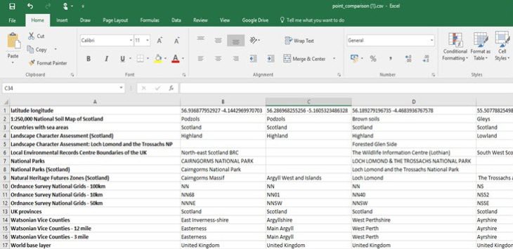
Once displayed however, the CSV file can be downloaded for analysis.
There are limited fields for comparison at the moment, but this will change as we add more spatial and habitat layers.